I often have little ideas for new ways to display images from Geograph, but its a pain building prototypes.
It usually involves finding some other part developed prototype or feature, that I can use as a template. Then have start up a code editor, and get connected to a server. Think of a name to call the file. Strip out the bits not needed for the new application. Then have to remind myself the APIs available. Work out how to call the APIs etc, etc, etc.
… well now I’ve began work on a platform to make this easier. Online code editor – quick forking of current projects. Easy wrapped access to relevant APIs, jQuery already loaded.
No more worrying about what to call the file, or making sure I keep backups of previous versions (should want to find a previous one!). This is all handled automatically. Setup to handle browser caching and invalidation on new versions. No worrying about stale code.
It’s primarily for my own use, but thought may as well open it up so others can use it build quick prototypes – or even fully fledged applications (based on Geograph images of course!).
The applications created all run client-side in browser – so utilizes the power of jQuery to create immersive and compelling interfaces.
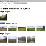
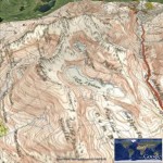
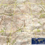
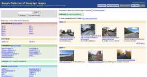
Probably the best place to start is from a few of the early demos I built with the system:
Public Listed Applications
Please use them as starting points – or simply inspiration to build your own application! (They are not meant as complete applications!)
No special tools required – other than a browser. Firefox with Firebug, or Chrome (press F12!) recommended – to help catch javascript errors.
(note: it only wraps one Geograph API currently – loading all images in a gridsquare – more to be added)


