This was made a while ago, but never really publised – so time it was given a bit more exposure…
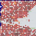
Thanks to the thousands of people rating locations over at ScenicOrNot, and the fact those locations are tied to Geograph images, we can plot the scenicness on a map!
The interactive mapper on Geograph now has a ScenicOrNot layer – updated weekly. You can also use the mapper to view the projects coverage so far.
Click the thumbnail to see the map for an area just south of Edinbrough, drag the map for other areas

