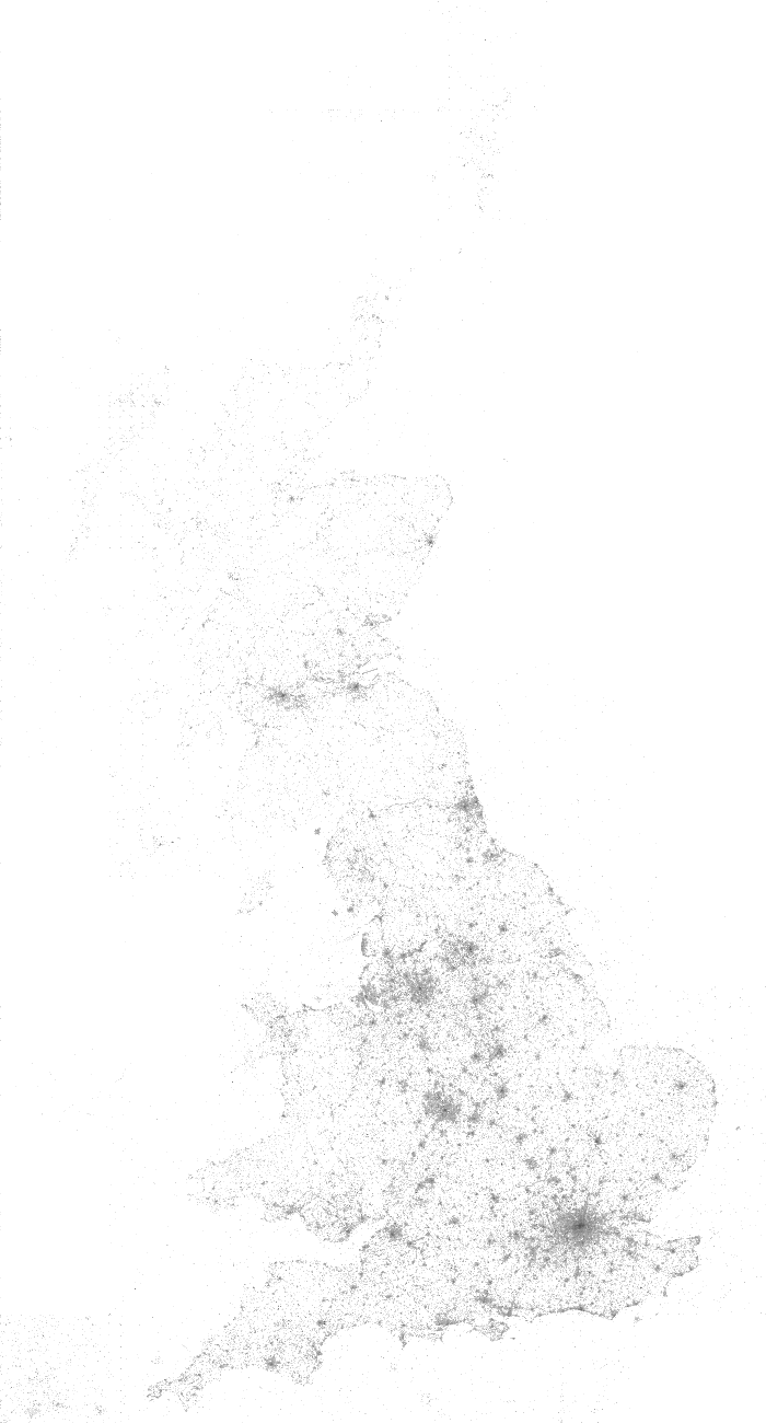
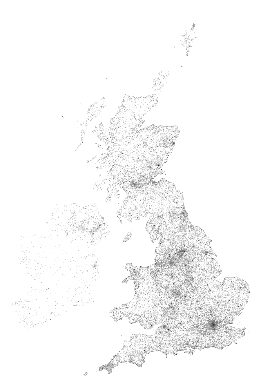
Archive for the ‘Coordinate Converter’ Category

Towards a standard Geotag Icon?

Sunday, March 2nd, 2008

Geotag DemoJust spotted a proposal for a standard icon to represent geotagged content, the homepage is at geotagicons.com, can’t say a big fan of the icon itself, but the idea is great.

<OT>Was sort of involved in trying to find a standard icon for GeoRSS (in fact they use my icon as the favicon ;) ), but not sure (in hindsight!) if that a good idea, really it just saying this is a geotagged feed, which really shouldn’t mean much different to the end user than the standard feed icon. If their feed reader is geoenabled - great, if not tough, although it can help people specifically looking for geo-content.</OT>

Anyway to try the waters, have enabled it for geotagged content on this blog, see the PhotoSpot category for example :)

(via)

Where in Great Britain are people searching?

Saturday, March 1st, 2008

Great Britain usage Coverage map :: NearbyNearby Coordinate Converter >>>
Following on from the Coverage map for Google Earth Layer usage, remembered I been keeping a log from the Coordinate Converter specifically for mapping (but only for GB) , but never actully got round to it, until now that is! Click the image for a full 1px per km version!

British Isles searching Coverage map :: Geograph
Update: Inspired by the above, heres one for the Geograph Search, ok so actully its for the British Isles!
<<<Geograph Searches

Geohash converter; API limit upped

Thursday, February 28th, 2008

Recently geohash.org was released; the premise: short easy links that encode a location. The website offers instant conversion, but as the algorithm is Public Domain, Lordelph was quick to implement a php class, and I could quickly add the conversion to my existing conversion API. Convert a postcode to geohash anyone?

Updating the documentation noticed the API was last updated in 2005 - gulp, how time flies! Anyway as a celebration have upped the throttling on the API, now three times the previous limit. Running on much improved hardware than when it was launched so maybe the limit can be tweaked even more, will run some analysis of its impact - it already seems the API is a minor part of the overall load on the server - particularly against the Google Earth layers.

Landranger Coordinates

Thursday, December 7th, 2006

Not sure if this really deserves a post of its own, but it is mildly exciting to delve back into the Perl of the Coordinate converter

Anyway it can now understand ‘Landranger References’ which are common in some walking books (that’s the main place I seen them anyway!), basically where just the digits of a Grid reference are specified along with a Landranger sheet number.

Example: OS52 894334 which is 894334 on Landranger sheet 52, converted to NN894334 as a standard Grid Reference.

Ireland support

Monday, May 1st, 2006

It seems there was few issues with Northern Ireland Postcodes, the Coordinate converter and API should both handle them properly. As well as adding support to the Maps section.

IARU Locators in the Geocoder

Friday, March 3rd, 2006

I have now added support for IARU Locators to the Nearby Geocoder. If want to work with these you have to explicitly request them and inform the geocoder thats what to supplying as they look teribly like UK postcodes…