
Great Britain + Ireland Gridlines for Garmin Handheld GPSr's
Support nearby.org.uk and help keep it free!
Download the maps here: garmin-gridlines-v1.zip (1,072kb) - last updated 16/07/2006
If only interested in one country then can download the files seperatly: Great Britain (796kb) and Ireland (282kb) [Download only one file!]
![Creative Commons Licence [Some Rights Reserved]](http://creativecommons.org/images/public/somerights20.gif) © 2006 nearby.org.uk, and made
available under a Creative Commons by-na-sa
2.5 licence.
© 2006 nearby.org.uk, and made
available under a Creative Commons by-na-sa
2.5 licence.
Drawing heavy inspiritation from the SMC Contours, (also free, highly recommended, thanks Dave Storey!), these maps will add the Great Britain National Grid and/or Irish Grid to your Garmin Handleld GPSr. If you are used to using OS maps or otherwise have a need for a grid (eg Geographing!) then these files should be ideal.
Update, while the above maps work, after a bit of testing 'in the field' two deficiencies have come to light. Firstly some 10km grid lines are duplicated (in slightly different places) and the grid lines are not very accurate, (upto 250m out!). These are both due to the conversion needed between National Grid and Lat/Long, meaning that with long gridlines (100km!) the centre part of the line can be quite far out. If either of these are a problem then I suggest you wait for version 1.2 in a few week. (at 10km resolution work very well, but becomes apparent zooming closer) - further Update: (25th) I can confirm that these gridlines are very useful even for driving giving quick directional informaiton as well as a real sence of scale
The maps are transparent, so you can use them the same time as Contours and Roads (well I do!). There is one file per Myriad (100km x 100km square), so you only have to upload your area of interest. When Zoomed out will show 10km Hectads, then when zoomed in will add 1km squares. No actual references are included, as the GPSr should be able to create the Grid References itself. For the origins of the Myriad and Hectad terms, see Geograph Help.
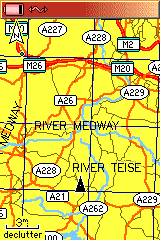
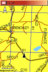
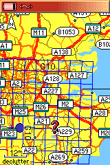
New: few rather boring screenshots: 1 2 3 (but do show that it works...)
Produced with self developed code and converted with the excellent cGPSmapper application.
Installation should be pretty simple, instructions are included in the file, but basically just extract the files to a folder, double click a single reg file, and then use in MapSource as normal. If you have installed the SMC Contours then should have no problem with these.
Disclaimer: They work for me on a Garmin GPSmap 76C and transfered by USB with MapSource 6.11.1, but also tested with sendmap20, YMMV - Your Milage May Vary. Absolutely no guarantee of accuracy, do not rely on these grid lines; for informational purposes only.
No formal support is provided, but I will do what I can to help, feedback is welcome.
For developers, or users wishing to use elsewhre I also make available the Polish Format
source files used: garmin-gridlines_source.zip (776kb) - last updated 16/07/2006
If you are looking for a Magallan GPSr version, then these tools might be helpful (if you create files I will link to them or even host them for you if you send them to me)
Unless otherwise noted these are made
available under a Creative Commons by-na-sa
2.5 licence. In a nut shell use as you like for non commercial purposes,
but credit nearby.org.uk and
if you build upon the data then share that. (does not mean you have to share
your whole app, just the data based upon this)